Explore our services and get in touch
Our Services
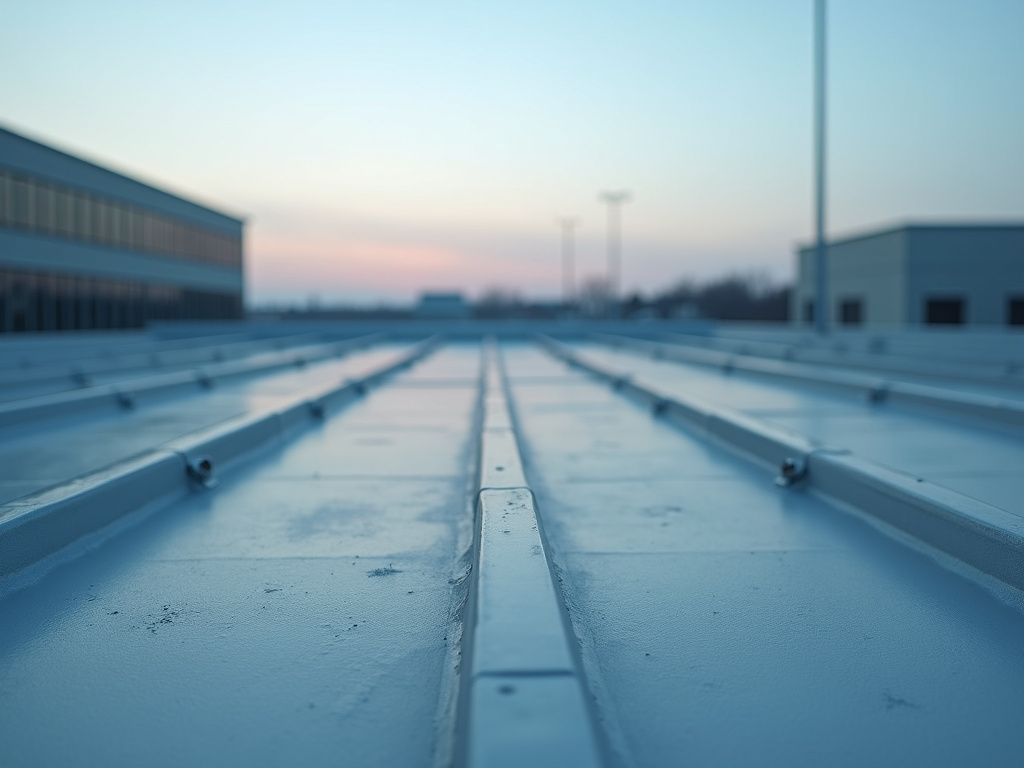 01.
Roof Documentation
Capture high-resolution aerial imagery of residential and commercial roofs for pre-estimate reviews, maintenance records, and post-storm documentation. The service includes repeatable drone flight paths, detailed edited images, and a written observation report delivered within 1–2 business days. Designed to help roofing contractors and property managers reduce site visits and organize visual evidence for insurance or repair planning.
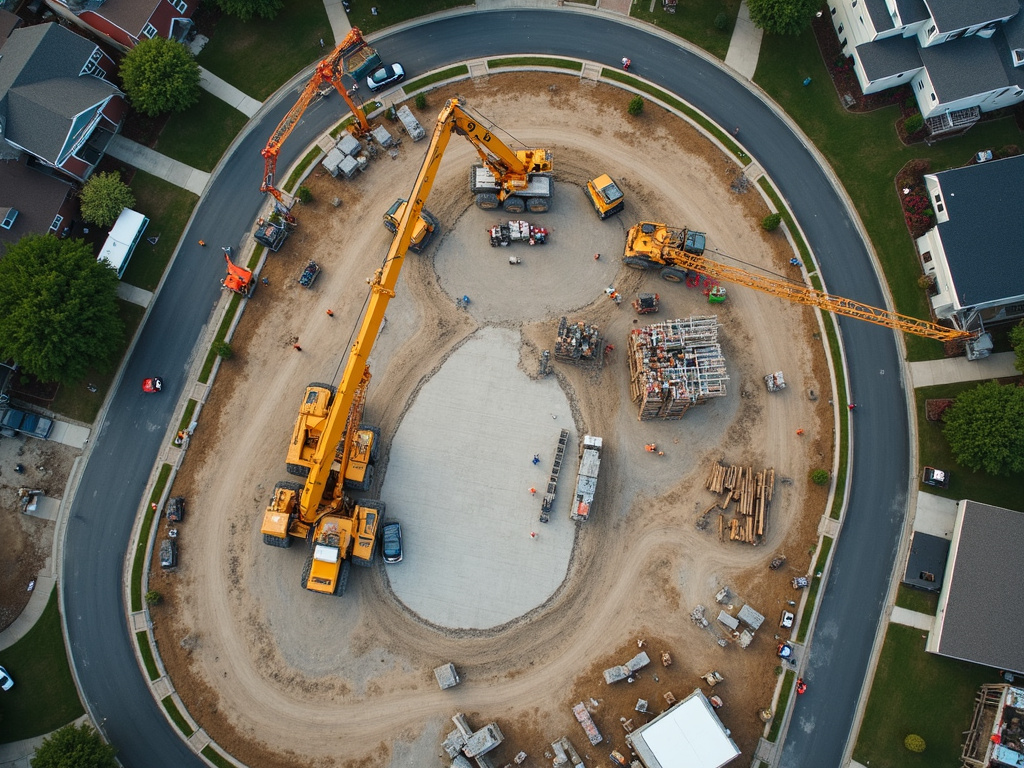 02.
Construction Progress
Document active construction sites with scheduled aerial missions that use saved flight paths for consistent, comparable imagery over time. Receive edited progress photos, aerial site views, and written visit reports that help owners, contractors, and project managers track milestones and communicate updates. Optional visual site maps and 3D models can support planning and recordkeeping.
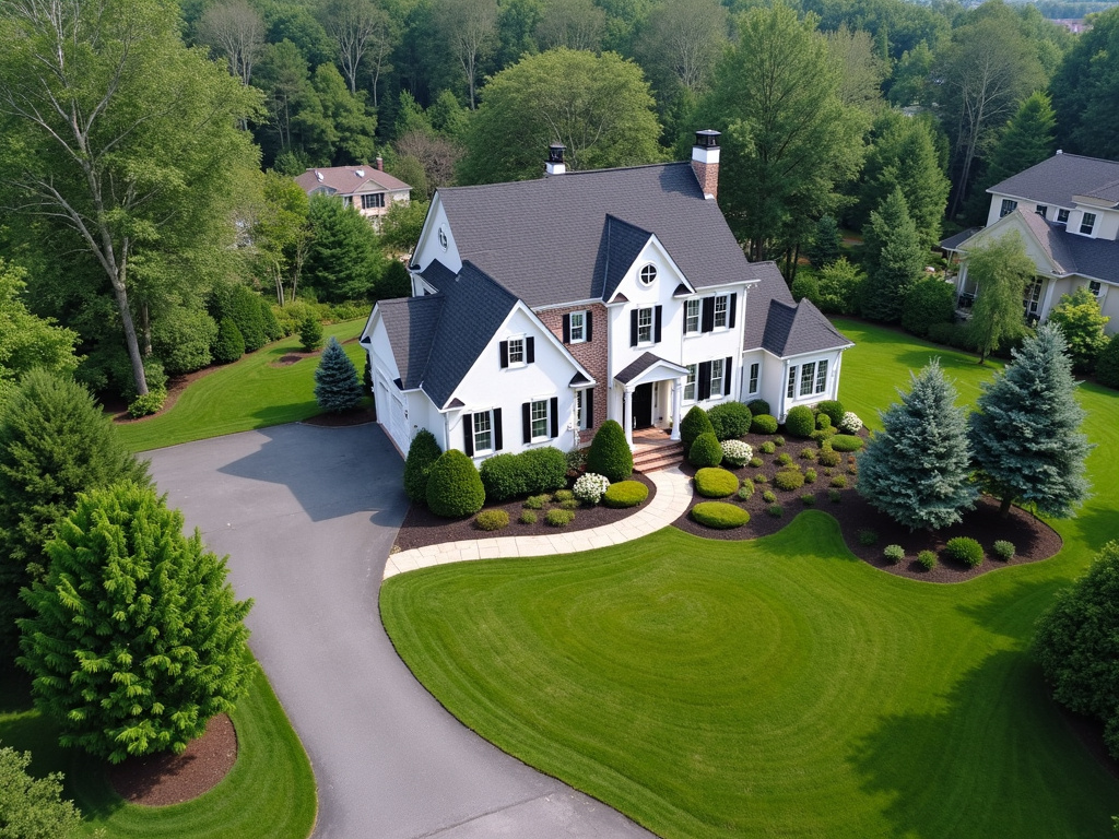 03.
Real Estate Aerials
Create polished aerial imagery and visual property assets for real estate listings, commercial marketing, and property management records. The service includes professional drone photography, edited image files, and optional aerial maps or 3D property models to showcase land, buildings, access points, and surrounding features. Final files are prepared for listing platforms, brochures, websites, and client presentations.